Location services have become an essential feature in modern mobile devices, enabling a wide range of applications from navigation and mapping to location-based advertising and emergency services. As an IT professional, understanding how these technologies work is crucial for configuring, troubleshooting, and securing mobile devices.
Modern smartphones and tablets use multiple technologies to determine their geographic position. The two primary methods covered in the CompTIA A+ exam are the Global Positioning System (GPS) and cellular location services. These technologies can work independently or together to provide more accurate and reliable location information.
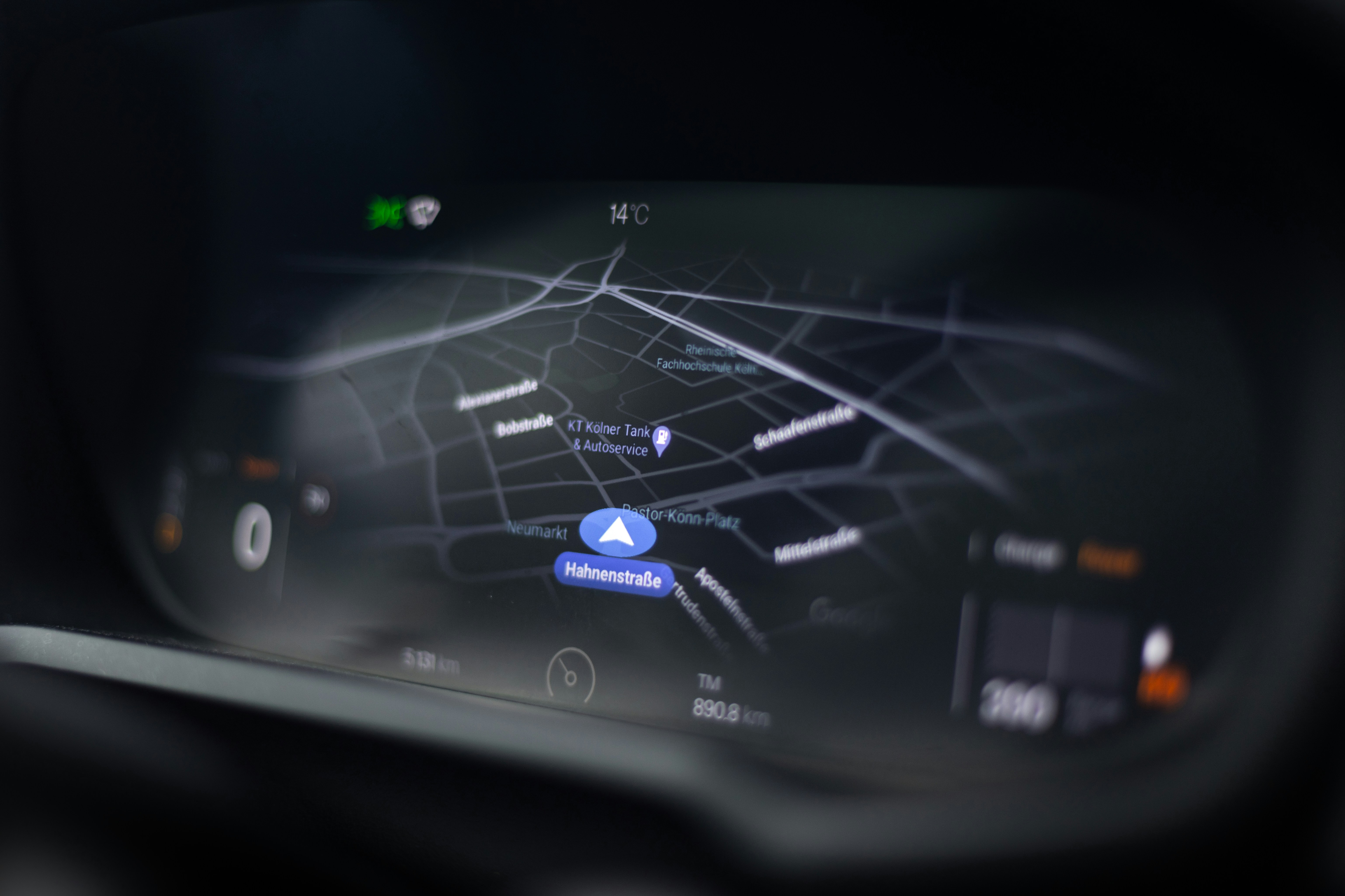
Global Positioning System (GPS)
What is GPS?
The Global Positioning System (GPS) is a satellite-based navigation system originally developed by the United States Department of Defense for military applications. Since the 1980s, GPS has been made available for civilian use and has become the primary technology for determining precise geographic location worldwide.
GPS provides geolocation and time information to any GPS receiver with a clear line of sight to four or more GPS satellites. The system operates continuously, 24 hours a day, in all weather conditions, anywhere on or near Earth.
GPS System Architecture
The GPS system consists of three major segments:
- Space Segment: A constellation of at least 24 satellites (currently 31 operational satellites) orbiting Earth at approximately 20,200 kilometers (12,550 miles) altitude. Each satellite completes an orbit approximately every 12 hours and continuously broadcasts signals containing precise orbital information and timing data.
- Control Segment: A network of ground-based stations that monitor satellite health, track their orbits, and upload updated navigation data. The master control station is located at Schriever Air Force Base in Colorado.
- User Segment: GPS receivers in devices such as smartphones, tablets, dedicated GPS units, and vehicles. These receivers collect signals from satellites and calculate the user's position.
How GPS Determines Location
GPS positioning is based on a mathematical principle called trilateration. The GPS receiver calculates its distance from multiple satellites by measuring the time it takes for each satellite's signal to reach the receiver. Since radio signals travel at the speed of light, the receiver can calculate the exact distance to each satellite.
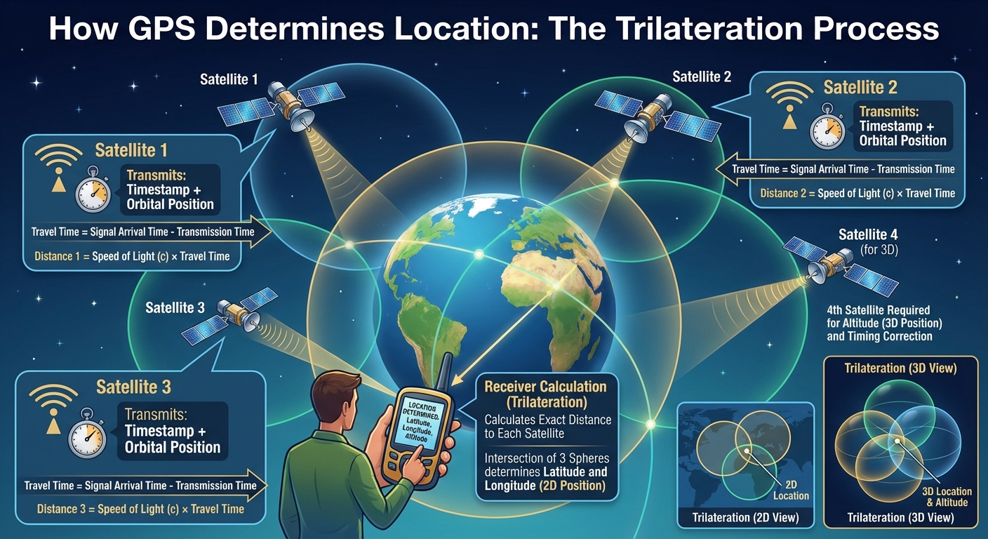
The Trilateration Process:
- Each satellite transmits a time-stamped signal along with its precise orbital position
- The receiver calculates how long each signal took to arrive
- Distance = Speed of Light × Travel Time
- With three satellites, the receiver can determine latitude and longitude (2D position)
- With four or more satellites, altitude can also be calculated (3D position)
- Additional satellites improve accuracy and help correct timing errors
GPS Accuracy and Limitations
Standard civilian GPS accuracy is typically within 3-5 meters under optimal conditions. However, several factors can affect accuracy:
- Atmospheric Interference: GPS signals must pass through the ionosphere and troposphere, which can delay or distort signals, reducing accuracy.
- Multipath Errors: Signals bouncing off buildings, mountains, or other large objects can create errors, particularly in urban environments ("urban canyons").
- Signal Obstruction: GPS requires a clear line of sight to satellites. Indoor environments, dense tree coverage, tunnels, and underground locations severely degrade or prevent GPS reception.
- Satellite Geometry: The relative positions of visible satellites affect accuracy.